Why the Pyrenees Are Filled with Lakes?
Walking through the Pyrenees, one thing becomes clear quite quickly: lakes are not occasional here. They are everywhere.
Not just the iconic ones, but countless smaller, quieter bodies of water, sometimes only minutes apart. It creates a sense of density that feels almost intentional.
It isn’t.
Their presence follows a very precise logic, one that shapes the way the mountains are experienced.
Lakes are not decorative. They are structural.
In mountain environments, water is meant to move. It flows downhill, continuously.
A lake exists only when that movement is interrupted.
That interruption requires a very specific combination: a natural hollow capable of holding water, and a barrier that prevents it from escaping.
In the Pyrenees, these conditions occur repeatedly because of how the terrain was shaped.
Glaciers once occupied these valleys. They carved into the rock, but more importantly, they left behind an uneven landscape — thresholds, depressions, subtle breaks in slope. Nothing symmetrical, nothing designed, but enough to alter how water behaves.
A lake appears exactly where that balance holds.
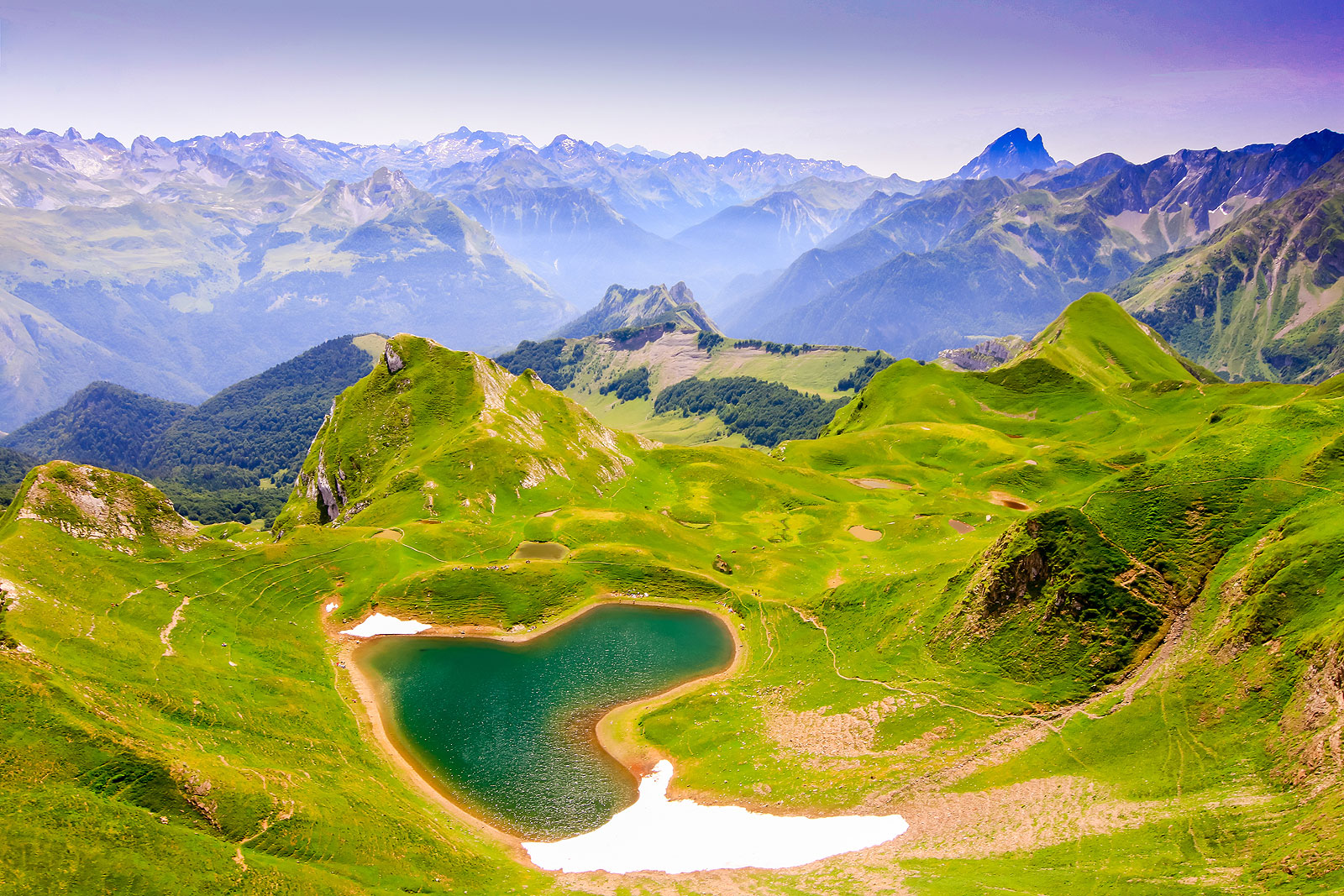
A fragmented mountain, a dense landscape
What makes the Pyrenees distinct is not simply the presence of glacial formations, but their distribution.
Instead of a few dominant structures, the range is composed of multiple smaller systems. Glaciers occupied secondary valleys, side basins, less obvious corridors.
Today, this translates into a landscape that feels layered rather than linear.
In areas such as the Réserve naturelle nationale du Néouvielle, lakes are not isolated highlights. They form a network. Moving through the terrain means moving between basins, each shaped by a different glacial history.
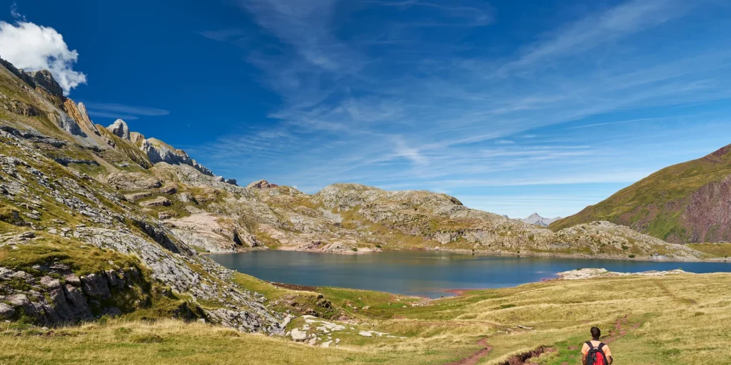
Not all lakes offer the same experience
Some lakes are destinations. You reach them, pause, and leave.
Others are part of a sequence.
In the Ossau Valley, around the Lac de Pombie and the Ayous lakes, water connects one level of the landscape to another. The route follows that structure naturally.
There is no need to “search” for the next point. The terrain leads the way.
This distinction changes everything.
Reading the landscape becomes intuitive
Once understood, lakes become indicators.
They reveal where the terrain opens.
They signal transitions between levels.
They reflect how water moves — or doesn’t.
This reading does not require technical knowledge. It comes from attention.
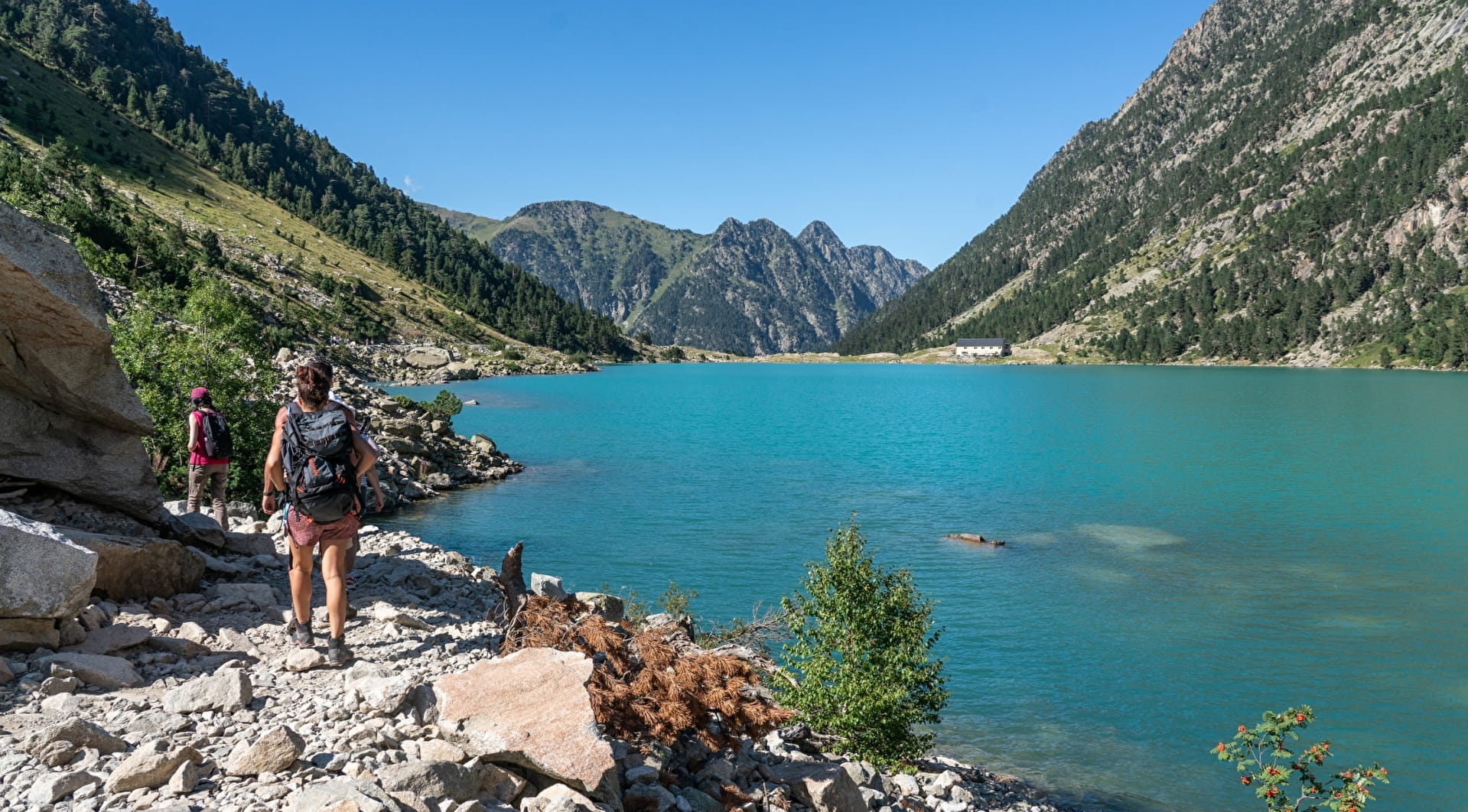
Around the Refuge Wallon Marcadau, for instance, the distribution of lakes reflects a clear glacial valley structure. Each level introduces a new basin, accessible through natural passages.
The landscape begins to make sense.
Where experience design makes the difference
In a region like the Pyrenees, the presence of lakes alone does not define a meaningful journey.
What matters is how they are integrated into the route.
An itinerary can simply connect viewpoints.
Or it can follow the underlying structure of the terrain.
This is where Pyreneance positions itself differently.
Routes are not built around isolated highlights, but around coherence. Around how the landscape naturally unfolds.
Guides working in these environments understand these formations intuitively. They know where transitions occur, where movement feels fluid, where the terrain opens or tightens.
The result is not just a more comfortable progression.
It is a more intelligent one.
A landscape in constant evolution
Mountain lakes are not fixed features.
They slowly fill, shift, and transform over time. Some will eventually disappear. This process is almost imperceptible, yet continuous.
What we experience today is a moment within a much longer cycle.
Choosing where to go, differently
Understanding how lakes are formed changes how one approaches the Pyrenees.
Some areas offer density and continuity, where one basin leads seamlessly into another.
Others offer isolation, where each lake stands apart, more discreet, more remote.
Around Artouste, itineraries move progressively through different levels of the landscape.
In the Aure Valley, certain routes lead to more secluded environments, where lakes feel less accessible, more private.
Near Bagnères-de-Bigorre, water becomes part of a broader experience, connecting hiking with the region’s thermal heritage.
These differences are subtle, but they define the experience.
What ultimately changes
At first, lakes are simply something to see.
Then they become something to understand.
And eventually, they shape the way one moves through the mountains.
That shift — from observation to comprehension — is what turns a beautiful landscape into a meaningful one.
Photo credits: Guide Béarn-Pyrénées / Pyrénées Béarnaises / Vallée de Gavarnie